Coastal Hazards in Connecticut

Primers
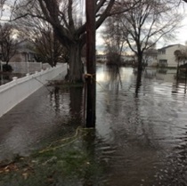
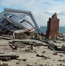
Coastal hazards have always been an issue for
Connecticut due in part to high levels of population
and development along the coast. Learn about how
storms, flooding, erosion, and the effects of climate
change can affect
Connecticut’s coast.

Management
There are many things that individuals, property and
business owners, and their communities can do to
help manage coastal hazards. Learn about immediate
and short term actions or issues and longer term
actions or strategies municipalities can utilize.

Mapping
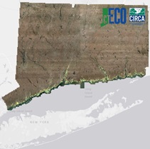
Access online mapping tools provided by Connecticut
Environmental Conditions Online (CTECO) and the
Connecticut Institute for Resilience & Climate Adaptation
(CIRCA) to visually learn about how
sea level rise and
hurricane storm surge can affect Connecticut's coast
and see other map and geospatial data, including
environmental observations such as coastal elevation,
water quality and places of ecological significance.
Additional Resources & Links
Content Last Updated December 30, 2019

